Geographers divide Turkey into seven regions. We don’t have articles for all of them yet, but each is worth knowing about when you plan a longer trip or a second visit.
Marmara Region
The Marmara region around the Sea of Marmara is the most densely populated part of the country, with Istanbul at its center. Bursa, the first Ottoman capital, is known for its mosques, silk market and the thermal baths of Çekirge, and the slopes of Uludağ above the city are Turkey’s best-known ski area. In Edirne, near the Greek and Bulgarian borders, the Selimiye Mosque by the architect Sinan is a UNESCO World Heritage site. Çanakkale, on the Dardanelles, is the base for the ancient site of Troy and the Gallipoli peninsula with its World War I memorials.
Aegean Region
The Aegean region runs along the west coast, with olive groves inland and İzmir, Turkey’s third-largest city, as its hub. Besides Ephesus and Bodrum, you can visit the hilltop ruins of Pergamon above Bergama and the ancient city of Aphrodisias, both on the UNESCO list. Çeşme and Alaçatı, west of İzmir, are summer beach towns, and the steady winds at Alaçatı draw windsurfers and kitesurfers.
Mediterranean Region
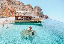
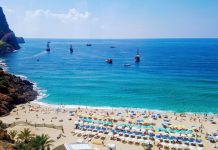
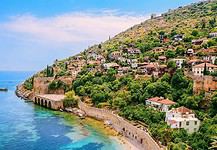
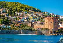
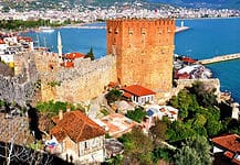
The Mediterranean region stretches from Fethiye in the west past Antalya and Alanya to Mersin and Adana in the east, with the Taurus Mountains rising behind the coast. Paragliders take off above Ölüdeniz near Fethiye, and the Lycian Way, a long-distance hiking trail of more than 500 km, follows the coast from Fethiye toward Antalya past the Lycian ruins of Xanthos and Letoon. Spring and fall are the months to hike it, as summer is very hot.
Central Anatolia
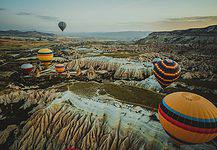
Central Anatolia is the high, dry plateau at the heart of the country, with cold winters and hot summers. Besides Cappadocia, it includes the capital Ankara, where the Museum of Anatolian Civilizations shows finds from the Stone Age to the Romans and Anıtkabir is the mausoleum of Atatürk. East of Ankara lie the ruins of Hattusa, the capital of the Hittites, and Konya has the Mevlana Museum, built around the tomb of Rumi. The Neolithic settlement of Çatalhöyük near Konya and the Phrygian capital Gordion are UNESCO World Heritage sites too.
Black Sea Region
The Black Sea region in the north is green, wet and mountainous, with forests down to the coast and tea gardens on the slopes around Rize. Trabzon is the main city, and the Sumela Monastery sits on a cliff in the forest south of it, so check its opening status before you go. Uzungöl and the high summer pastures (yayla) of the Kaçkar Mountains are good for hiking, and you can go rafting in the Fırtına Valley. In the west of the region, the Ottoman town of Safranbolu, with its wooden houses, is a UNESCO World Heritage site. Try the local anchovies (hamsi) and the corn bread, and pack a rain jacket in any season.
Eastern Anatolia
Eastern Anatolia is Turkey’s highest region, with long, snowy winters and short summers. Mount Ararat (Ağrı Dağı), at 5,137 m the highest mountain in the country, rises near the border with Iran and Armenia, and climbing it needs a permit. Lake Van is Turkey’s largest lake. Near Kars, the ruins of the medieval city of Ani stand on the border with Armenia and are a UNESCO World Heritage site. Erzurum has a ski area on Palandöken, and in winter the Doğu Express sleeper train from Ankara to Kars is popular for its views of the snowy landscape, so book early.
Southeastern Anatolia
Southeastern Anatolia borders Syria and Iraq, with hot, dry summers and some of the country’s oldest sites. Göbekli Tepe near Şanlıurfa, where people built stone enclosures about 11,000 years ago, is a UNESCO World Heritage site, and so are the giant stone heads on Mount Nemrut and the fortress walls of Diyarbakır. Gaziantep is known for baklava and its food scene, and its Zeugma Mosaic Museum holds Roman mosaics. Mardin is built in honey-colored stone on a hillside above the Mesopotamian plain. Check the current travel advice before you go, as the US State Department advises against all travel within 10 km of the borders with Syria and Iraq.